📍 Recent Trail Conditions
Log in to report🥾 Trail Info
🗺️ Trail Map
📈 Elevation Profile
🌤️ 3-Day Forecast
Forecast unavailable for this trail.
Coteau des Prairies Trail – Newton Hills Sp
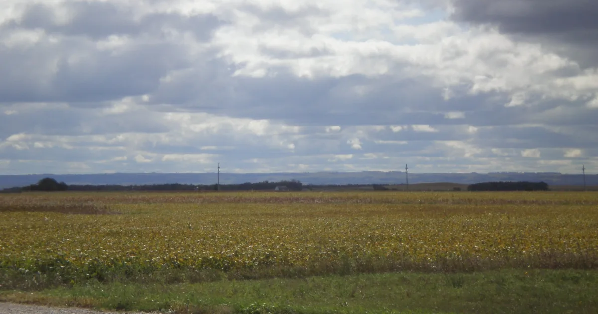
The Coteau des Prairies Trail traverses the highest terrain in southeastern South Dakota, climbing across the rolling oak-covered hills of Newton Hills State Park to viewpoints that reveal the vast agricultural plains stretching toward the Iowa and Minnesota borders. Newton Hills occupies a portion of the Coteau des Prairies, a glacially derived plateau that forms one of the most prominent topographic features of the northern Great Plains, and the park's wooded hills represent the ancient shoreline of a glacial lake that once occupied the prairie basin below. The trail ascends through dense bur oak forest, crossing several ravines on wooden bridges before reaching exposed knolls with commanding views.
The geological story told along this trail is a compelling one: the hills themselves are composed of glacial till deposited by the Laurentide Ice Sheet, and numerous glacial erratics, massive boulders of granite and quartzite carried hundreds of miles from the Canadian Shield, are scattered throughout the forest and are visible from the trail. Spring wildflowers are exceptional along the ravine bottoms, where trillium, Dutchman's breeches, and bloodroot bloom in April before the oak canopy closes. Wild turkey flocks are abundant throughout the forest, and white-tailed deer are virtually certain encounters. The park is one of the few remaining examples of the oak savanna ecosystem that once covered much of the eastern Dakotas before European settlement.